Northern
Bighorns
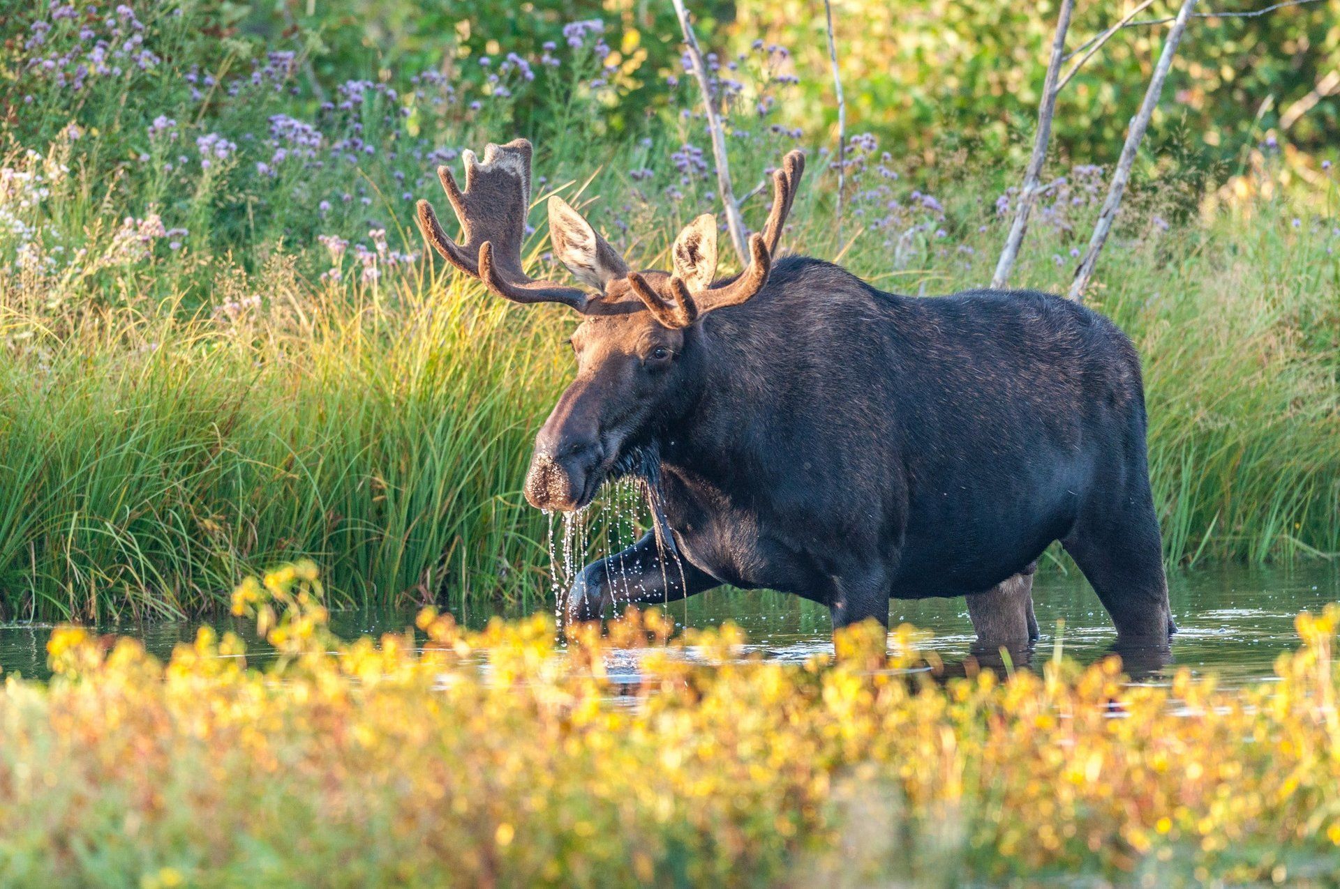
Rising steeply from the Great Plains, the Bighorn Mountains gain 4,000 feet of elevation in 15 miles giving spectacular views of the surrounding countryside. US Highway 14 in the North and US Highway 16 in the South twist and turn through mixed spruce and pine forests and along scenic vistas. Find unlimited, easy-to-access recreation in the pristine Bighorn Mountains; hike, bike, camp, boat, rock climb or photograph the wildlife and scenery in these golden hills . Or step farther back in time with the complex geology and history. The Bighorn Mountains are a visitor’s paradise.
THINGS TO KNOW BEFORE YOUR ARRIVAL
Highway 14A, from Lovell, is extremely steep, a 10-percent grade and more, is winding, has several hairpin turns, and many blind corners. This is a challenging road during the summer season.
This road is not recommended for oversize or over-length loads. Unless you are experienced in extreme mountain road driving, it is not advisable for 18-wheelers.
For tourists, it is a beautiful drive with wildlife, wonderful scenery and over 200 mile views in some areas. However, if you are driving a motor home, please pay attention to the information in the above paragraphs. Use lower gears to avoid the dangerous possibility of burning out your brakes.
1.1
MILLION ACRES OFNATIONAL FOREST
39
IMPROVED LODGES & CAMPGROUNDS
1,500
MILES OF HIKING TRAILS
13,189
FEET ABOVE SEA LEVEL(CLOUD PEAK)
Northern Bighorns
Shell Falls
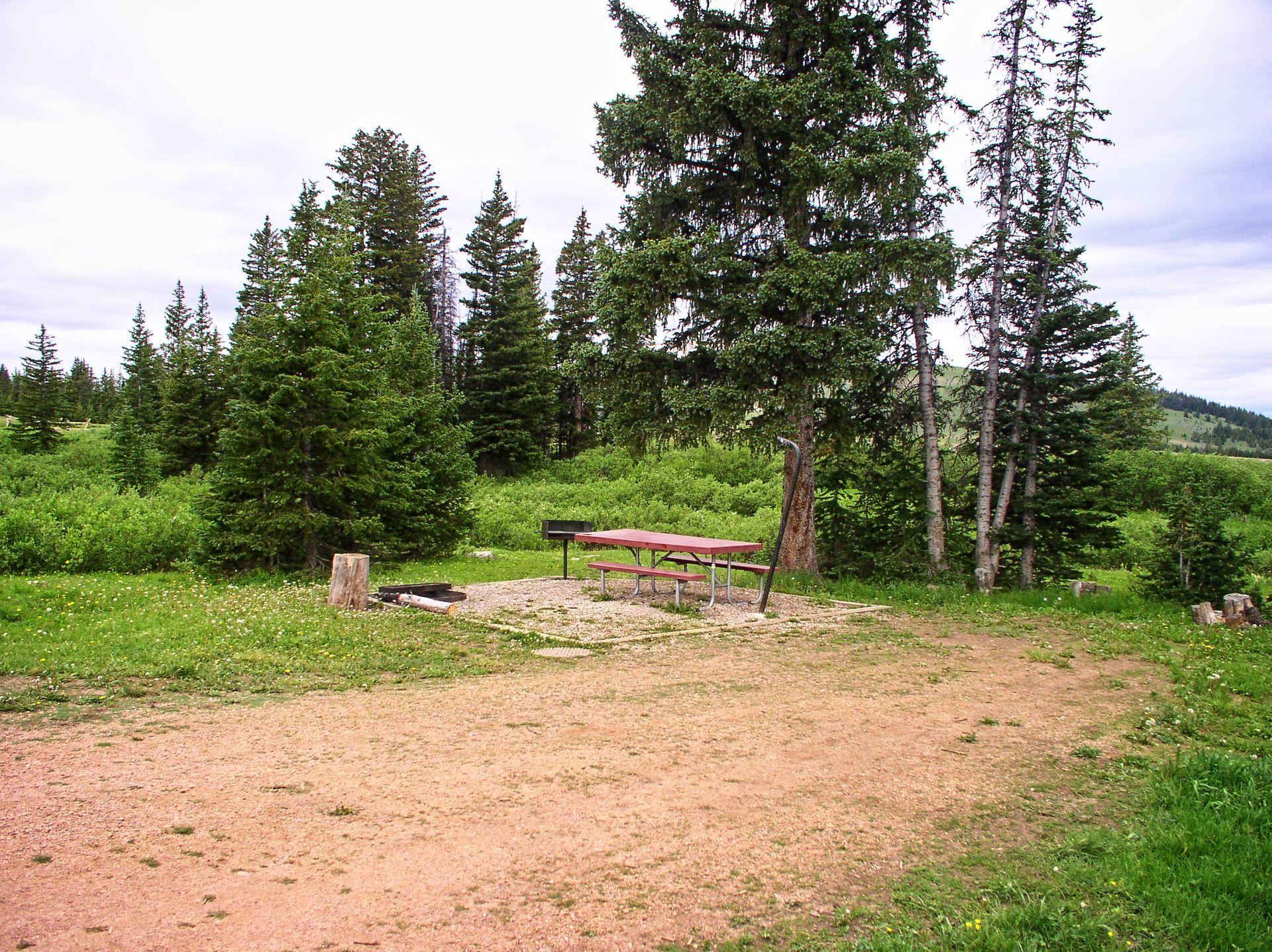
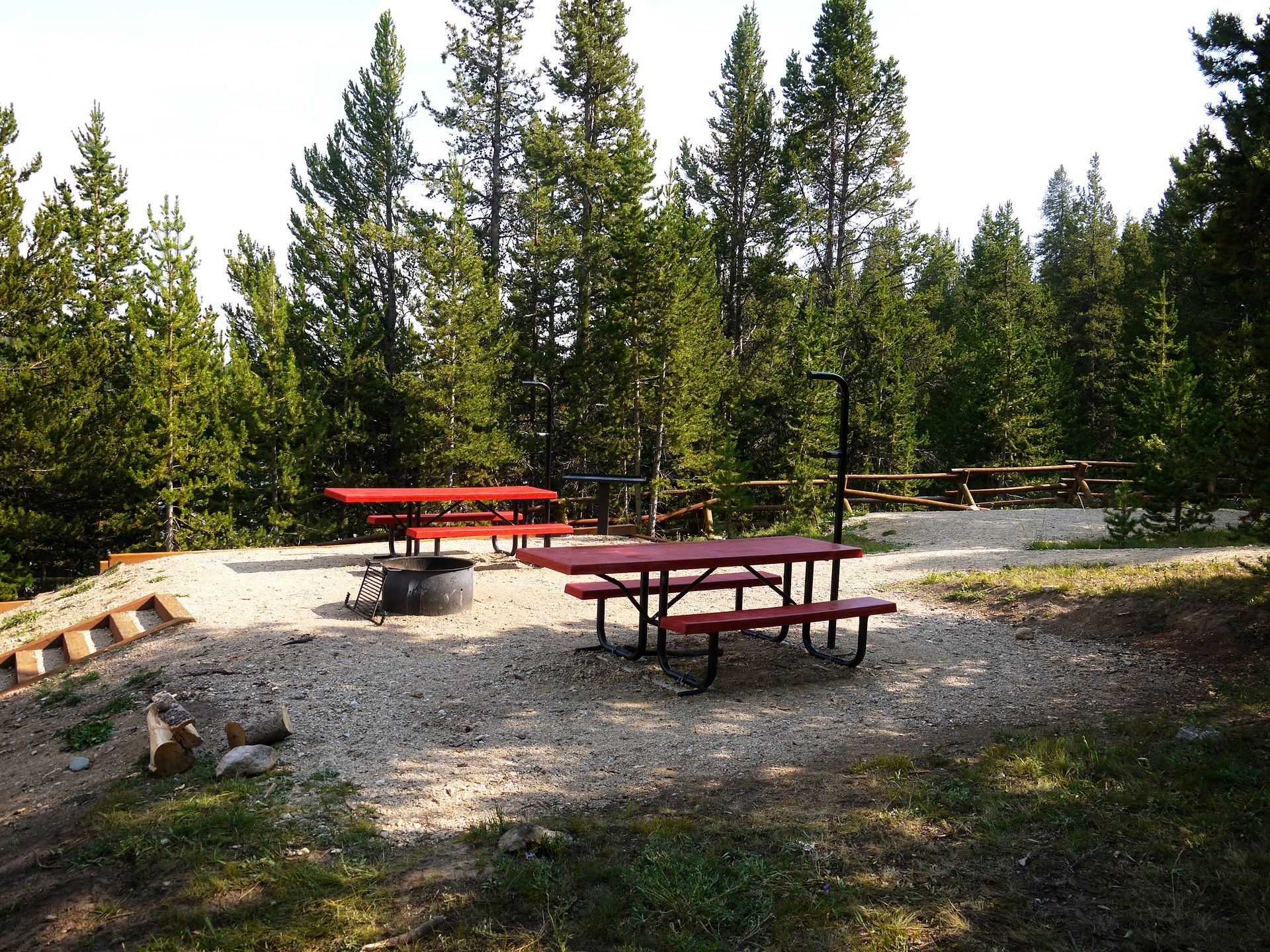
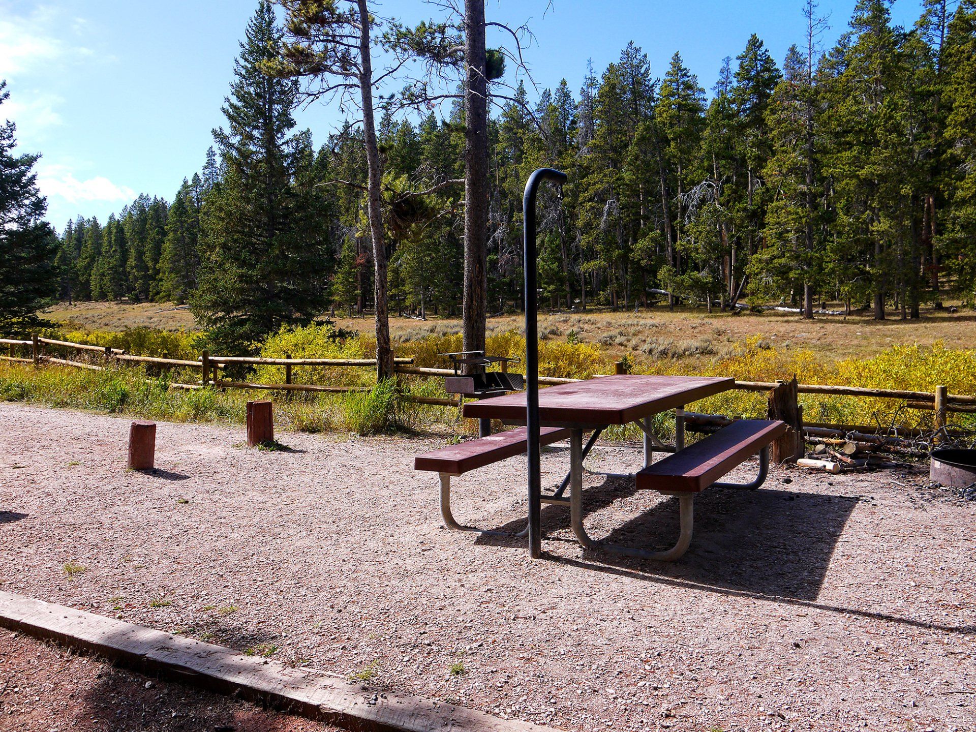
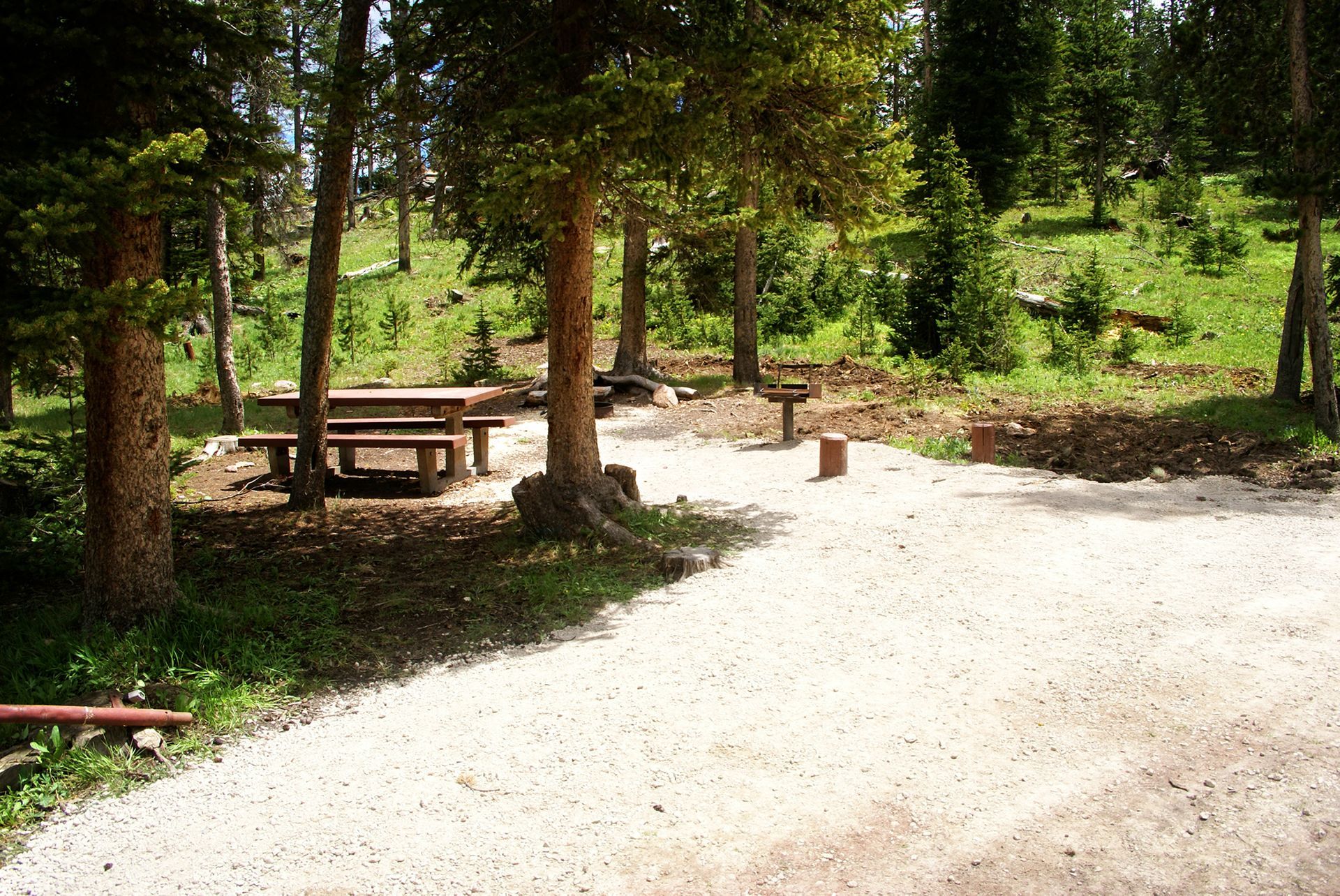
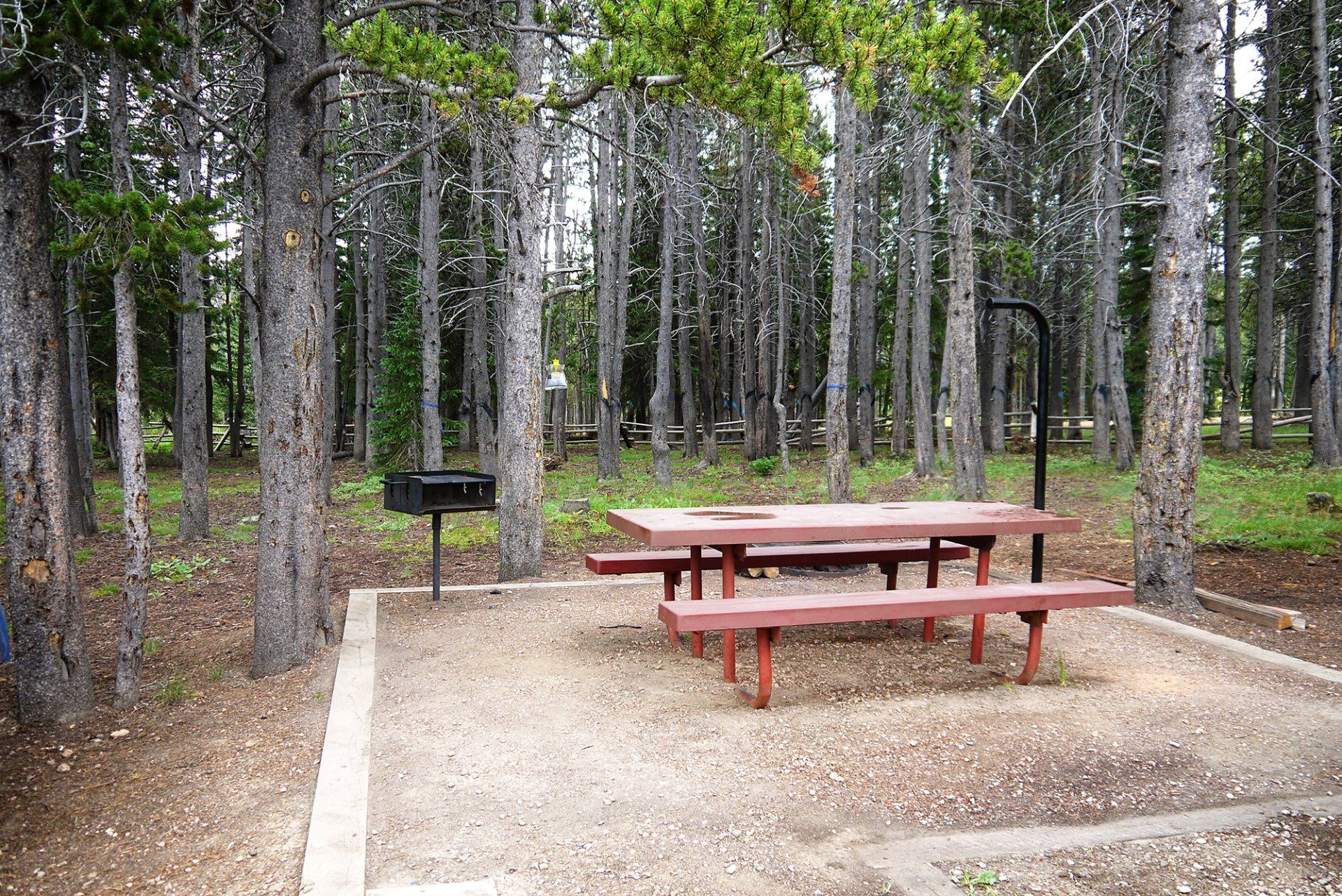
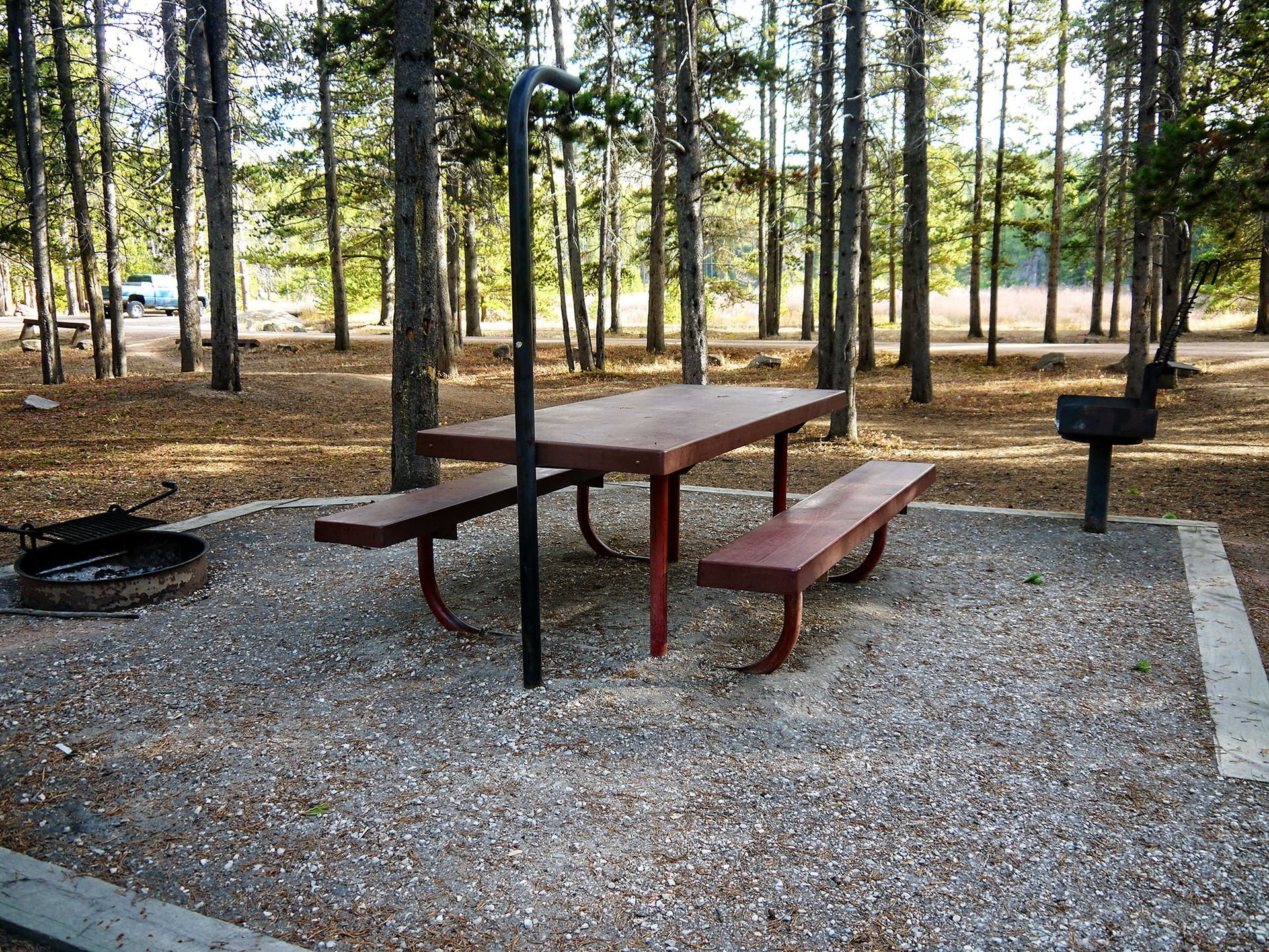
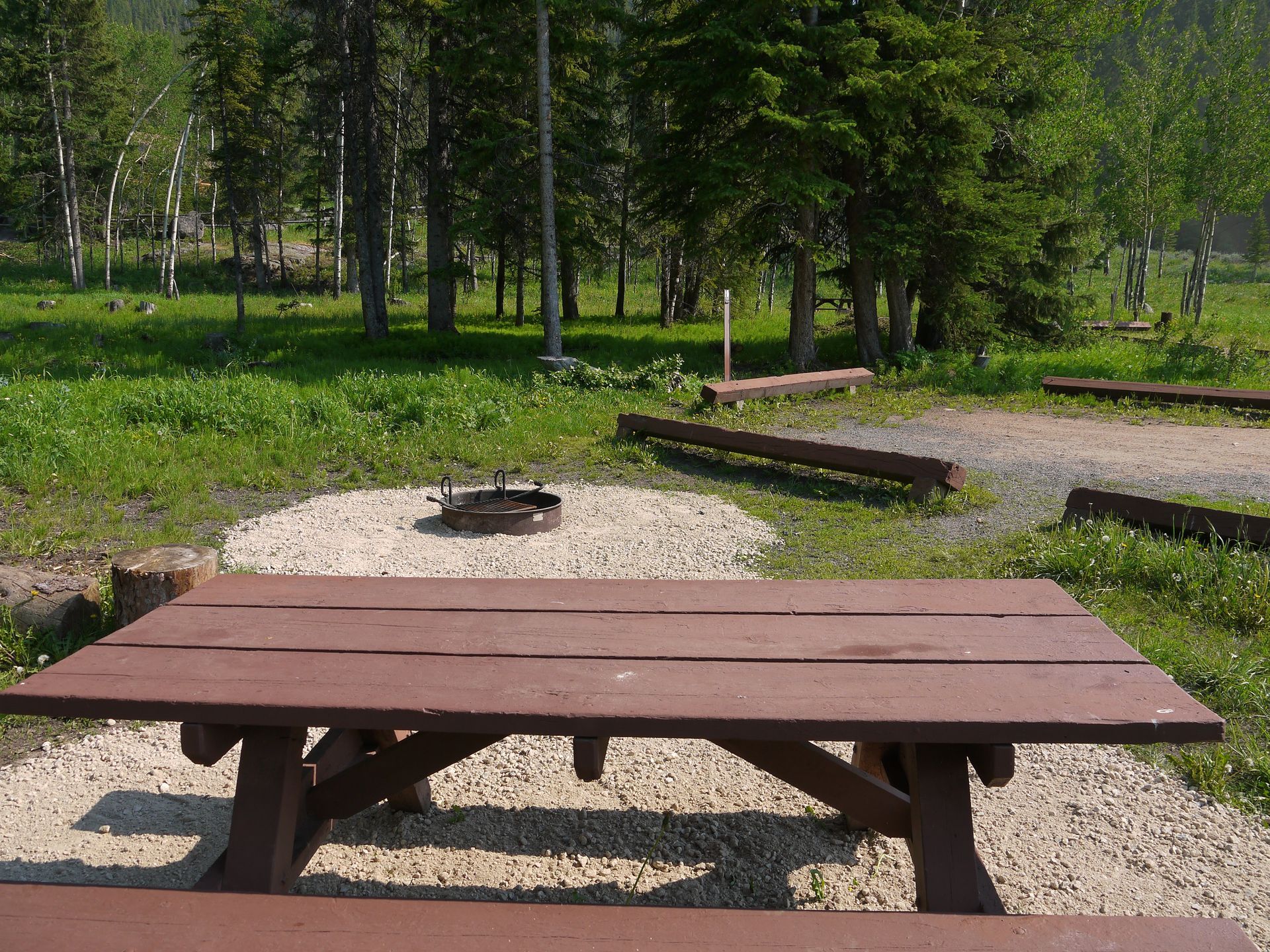
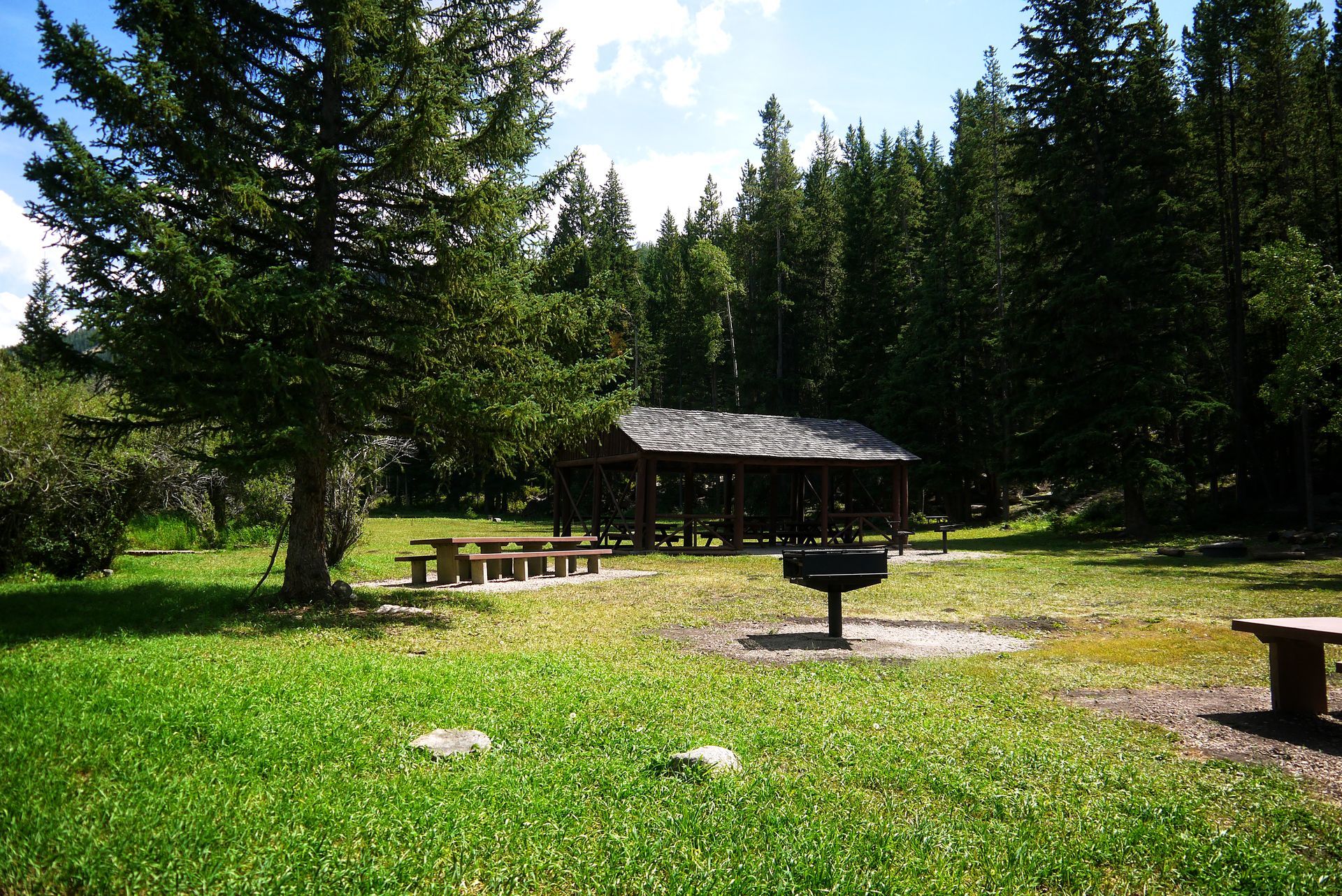
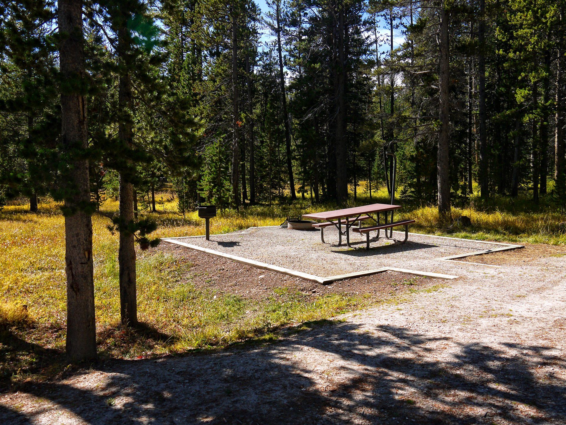
On the western edge of the Bighorn Mountains along Highway 14 sits the scenic Shell Falls and Visitor Center. Near Shell Falls are Ranger Creek Recreation Area, and Shell Falls Campground on the boulder choked and riotous Shell Creek. Ranger Creek Recreation Area has a large open park and covered picnic area to accommodate large group camping while Shell Falls, tucked into a dense stream-side forest, boasts relaxed fishing and wildlife watching.
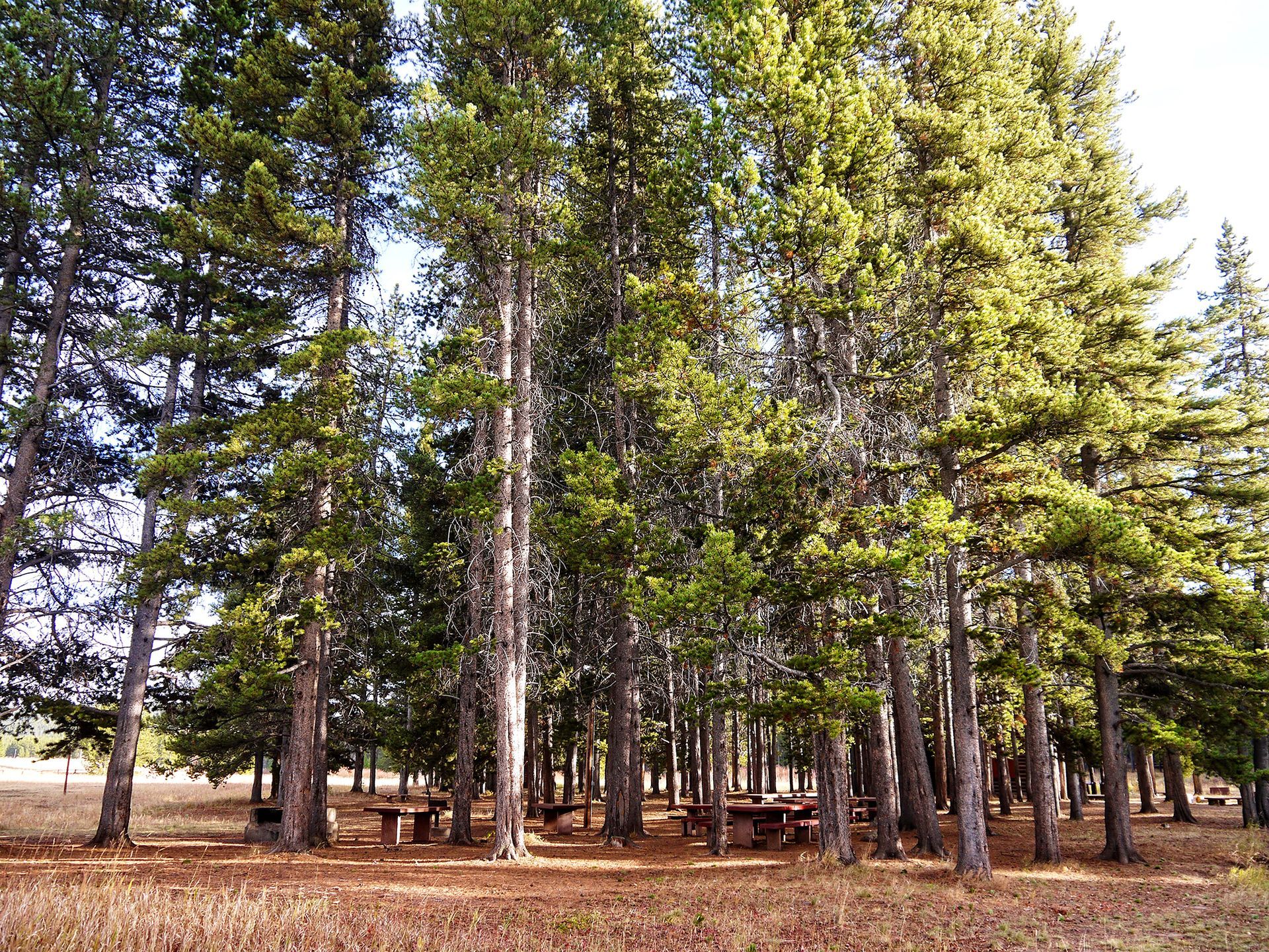
Tongue River
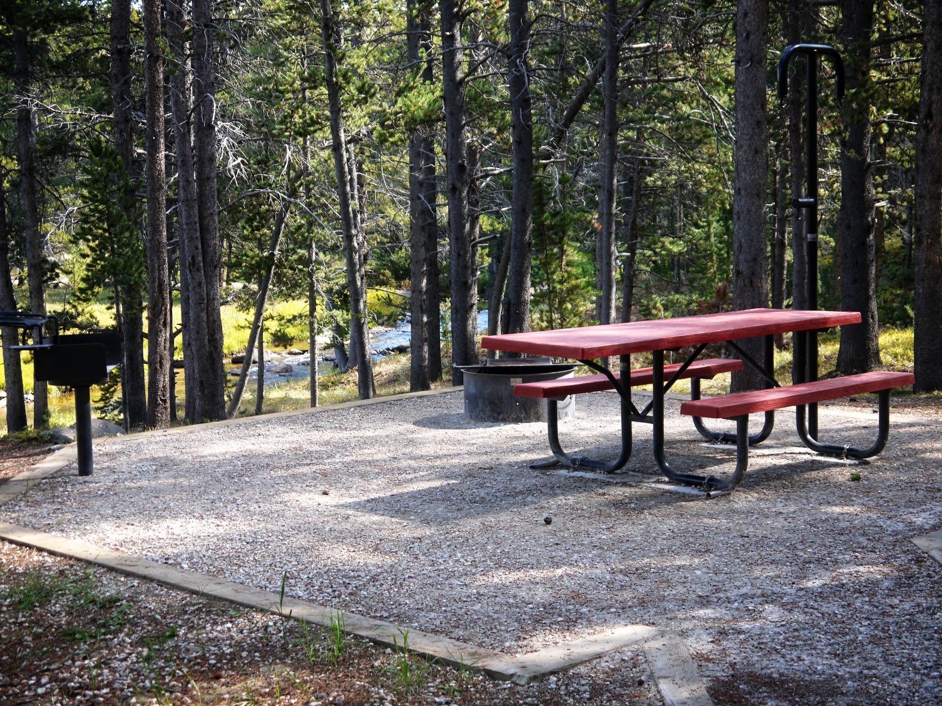
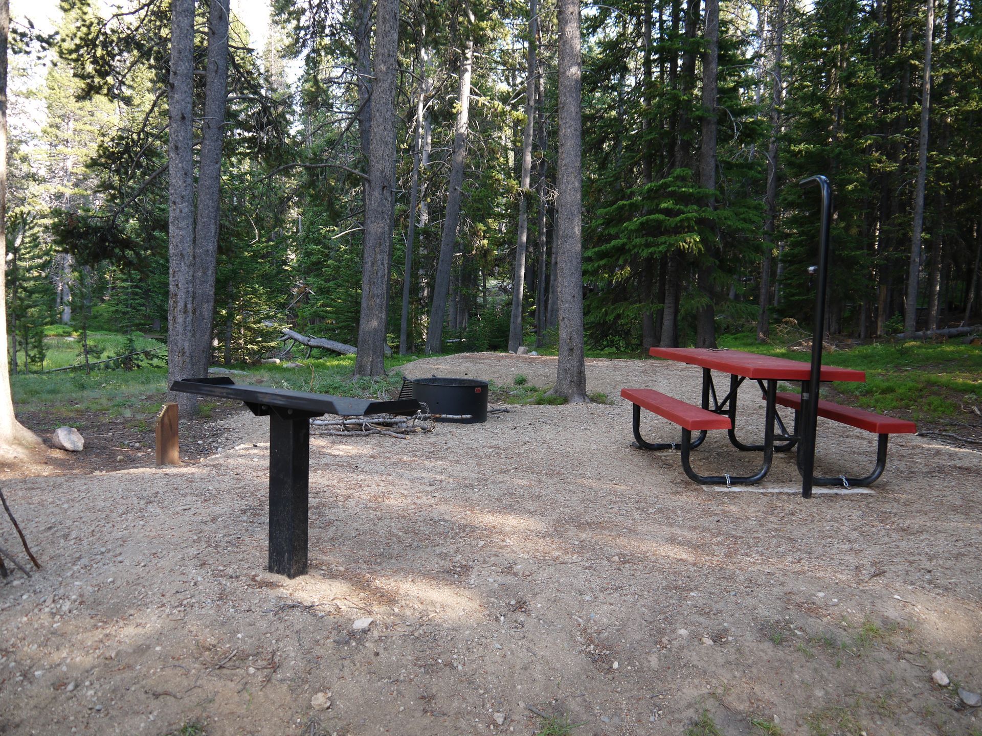
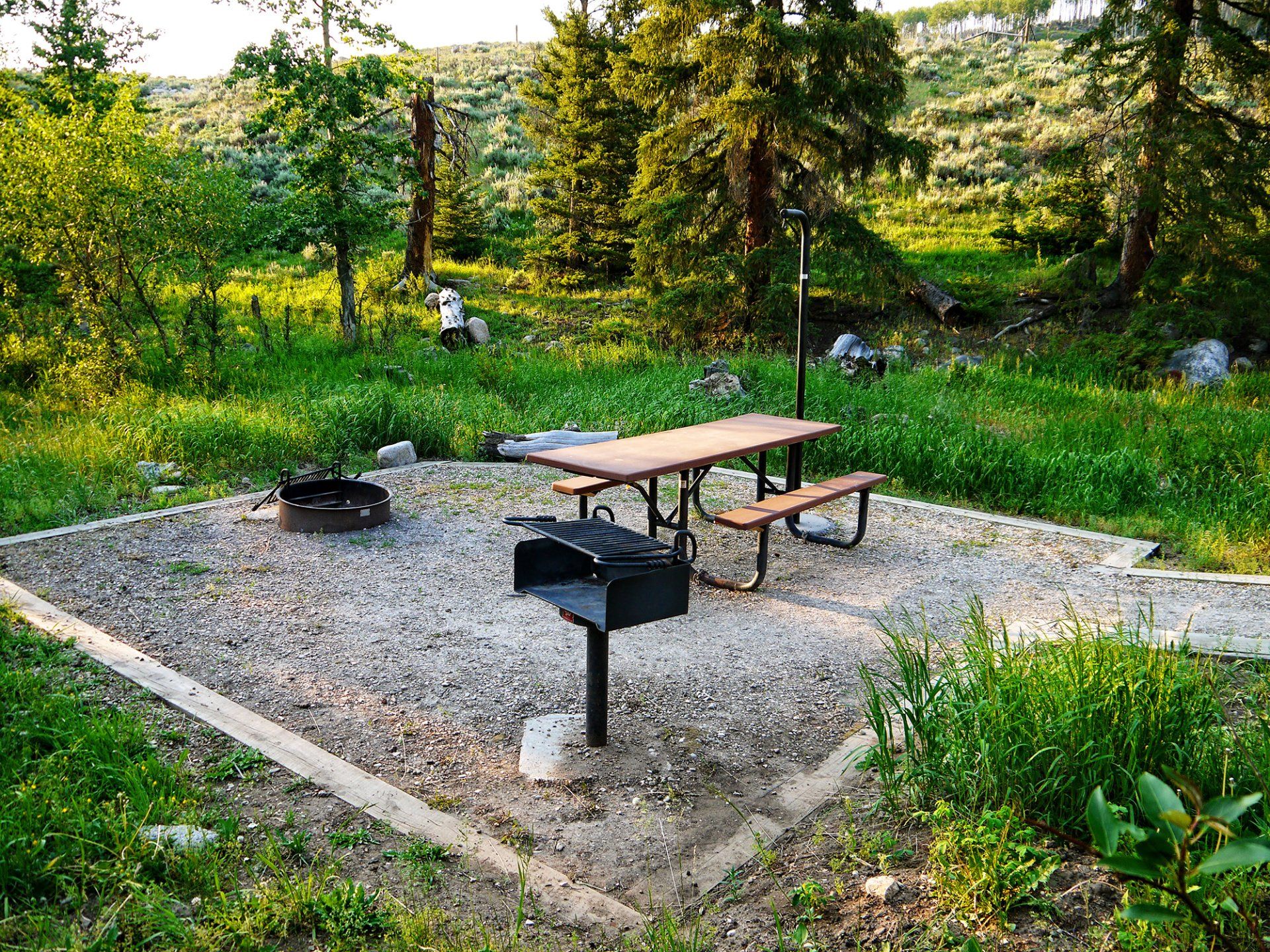
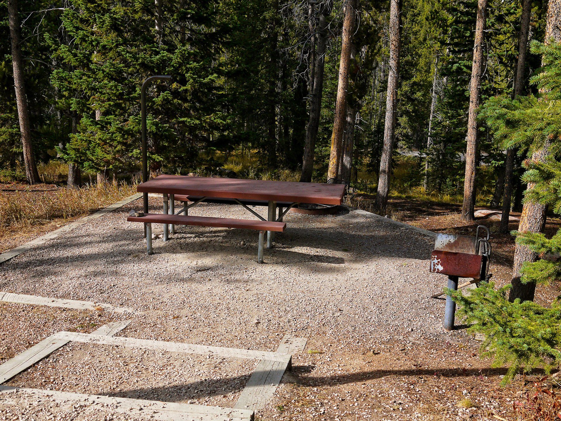
Further removed but beautifully quiet and scenic are Dead Swede Campground and Tie Flume Campground, historic stopping spots for early forest travelers and workers. Both are located on the South Tongue River, which is shallow and serene, with sandy beaches and quiet fishing pools. The North and South forks of the Tongue River give ample opportunity for fishermen to match wits with various trout species. Handicap fishing is available at fishery-stocked Sibley Lake.
Recreation & Site-Seeing
Back country jeep/4WD and ATV trails provide recreation opportunities to motorists; local lodges provide ATV rentals and maps. Hiking trails take off from Sibley Lake and a short nature hike is located at the Burgess Visitor Center. Remnants of the once vast complex of water flumes and splash dams that washed trimmed logs to the valley can be seen just up the road from Dead Swede Campground which does indeed house a dead Swede's grave.
THE BIGHORNS
US Highway 14 and 14A allow access to the Northern part of the Bighorns while US Highway 16 allows access across the Southern part.
There are no roads in the Cloud Peak Wilderness. All access is restricted to horses or your own feet.
CLIMATE
TEMPERATURES
Spring temperatures range from 60°-70° F for the highs and 30°-45° F for the lows. Summer highs are in the 70°-80° F range with the lows reaching into the 40° F range.
RAINFALL
Most rain comes in May and June but come prepared for showers as they can happen all summer long.
SNOWFALL
Snow should be out of the mountains by early to mid May and shouldn't come around again until late September.